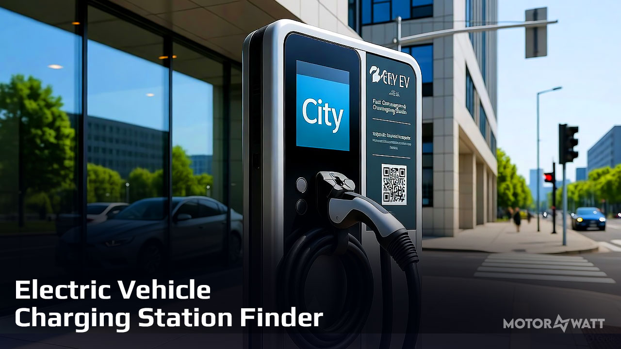
Getting Started
When the map opens your browser will ask for permission to access your location. Allow it — this is how the map knows where to centre and which stations to show. Once your location is confirmed you will see:
- A red START marker pinned to your current position
- A dashed red circle showing the 5-mile search radius
- Coloured station markers for every EV charger inside that radius
- A station count badge in the top-right corner of the toolbar (e.g. 47 stations within 5 mi)
If you deny location access the map loads a default view. Click My Location in the toolbar at any time to try again.
Understanding the Markers
Each charging station is shown as a coloured pin. The colour tells you the charging level at a glance:
| Marker colour | Charging level | Typical charge time |
|---|---|---|
| Dark blue | DC Fast Charger (Level 3) | 20–60 minutes |
| Blue | Level 2 AC | 4–8 hours |
| Green | Level 1 AC | Overnight |
When many stations are close together they merge into a numbered circle. Click the circle to zoom in and see the individual stations spread apart.
Filtering Stations
Three dropdown menus in the toolbar let you narrow down exactly what appears on the map:
- All charge levels — filter to DC Fast only, Level 2 only, or Level 1 only
- All connectors — choose a specific connector type (CCS, CHAdeMO, Type 2 / Mennekes, J1772, Tesla, and more)
- Public & Private — switch to Public only to exclude private or restricted stations
After choosing your filters click the Apply Filters button. The map reloads and shows only the stations that match your selection within your 10-mile radius.
Filters work together. You can combine charge level, connector type, and access type at the same time — for example, DC Fast + CCS + Public only will show only public CCS fast chargers within 10 miles.
Moving Your Location
The red START pill on the map is draggable. If your detected position is slightly off, or you want to search around a different point entirely:
- Click and hold the red START marker on the map
- Drag it to the correct position — the 5-mile radius circle follows in real time
- Release — stations reload automatically for the new location
You can also click My Location in the toolbar at any time to re-detect your GPS position and snap back to where you actually are.
Planning a Route to a Station
- Click any station marker on the map to open its information popup
- The popup shows the station name, address, charging level, network operator, connector types, cost information, and how far it is from your START point
- Click the Route to this station button inside the popup
The map immediately:
- Places a green END label on the destination station
- Calculates the driving route from START to END via road
- Draws the route as a green line following actual roads
- Opens the Route Planner panel showing the total distance and estimated driving time
To clear the route and start over, click Clear Route in the toolbar. To route to a different station, simply click Route to this station in another popup — the previous route is replaced automatically.
Frequently Asked Questions
- No stations appear after the map loads — what do I do?
Click Apply Filters in the toolbar. On some browsers the initial load waits for a manual trigger. Also check that your location was detected correctly — if the START marker is in the wrong place, drag it to the right spot and stations will reload.
- The "Route to this station" button is greyed out — why?
Route planning requires an OpenRouteService API key configured by the site administrator. If the button is disabled, contact the site owner to enable routing.
- My location was detected in the wrong place. How do I fix it?
Drag the red START marker to your correct position on the map. The search radius and station results update automatically when you release it. Alternatively, click My Location to re-run GPS detection.
- The red circle looks bigger than 5 miles on screen — is that correct?
Yes. The circle is drawn as a true 5-mile radius on the ground. At higher latitudes (such as northern Europe) map projections can make north–south distances appear stretched on screen, but the search area and station filter are exactly 5 miles regardless of how the circle looks.
- Where does the station data come from?
Station data is loaded live from Open Charge Map — one of the largest open EV charging databases in the world, covering stations globally. The data is community-maintained and updated continuously.
- Can I search for stations in other cities or countries?
Yes. Drag the START marker anywhere on the map — even to another country — and stations within 5 miles of that point will load. The search is global, not limited to any specific region.
Finding a charge on the road should be simple. Use the START marker to anchor your search, filter by the connector your car needs, and tap Route to this station to get there — the map handles the rest.
Recomended Electric Vehicles

BYD Xia 2025 DM-i 180KM

Golf Cart

Xiaomi SU7 MAX